
The Wave Hike: My Honest Trail Guide (2026)
You won the permit. Congratulations, that was the hard part. Now comes the part nobody prepares you for properly: a rough dirt road, a route with only a few markers and a desert that gets hot fast, even in October.
In fact, we have done The Wave hike twice, eleven years apart. That is why this guide covers everything we learned on our second trip in October 2026: how to get to the trailhead, how to find your way, how hard it really is and what to see once you are out there.
If you are still trying to get a permit, start with my guide to The Wave permit lottery. If you already have one, this is for you.
Let’s get into it.
In a Rush?
Our Pick
Mid-Range
Budget
- The Wave Hike at a Glance
- How to Get to the Wire Pass Trailhead
- Flash Floods and Monsoon Season
- The Wave Trail: How to Find Your Way
- How Hard Is The Wave Hike?
- What to See on The Wave Hike
- Hiking The Wave Arizona: Then and Now
- What to Pack for The Wave Hike
- Where to Stay and Eat in Kanab
- Get Ready for Your Trip to The Wave
- Frequently Asked Questions
The Wave Hike at a Glance
The Wave hike starts at the Wire Pass Trailhead, crosses a sandy wash and then climbs over open slickrock to the famous sandstone bowl in Coyote Buttes North. There is no fully marked trail, only a few direction markers, very little shade and no water along the way.
|
↔️
About 6.4 mi
Distance
|
🥾
Strenuous
Difficulty
|
💵
Permit only
Cost
|
🌅
Sunrise start
Best Time
|
⏱️
Half a day+
Plan For
|
- Trailhead: Wire Pass, on House Rock Valley Road
- Road: unpaved, bumpy, rocky, SUV recommended
- Route: mostly unmarked, a few direction markers, you navigate with the BLM map and photos
- Shade: almost none on the entire route
- Temperatures: up to 30°C (86°F) even in early October
- Permit: required for all of Coyote Buttes North, pink tag on your backpack and pink parking tag on the dashboard
- Trail register: sign in at the start, sign out when you are back
How to Get to the Wire Pass Trailhead
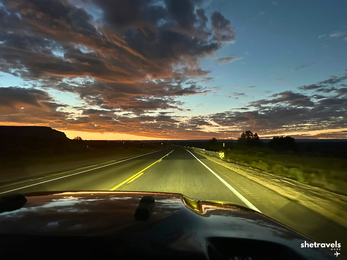
The Wire Pass Trailhead sits on House Rock Valley Road, about 8.3 miles (13 km) south of Highway 89, which runs between Kanab and Page. From Kanab, plan about an hour for the whole drive, so leave early.
We started in Kanab while it was still dark, so we could be on the trail shortly after sunrise. That turned out to be the best decision of the day.
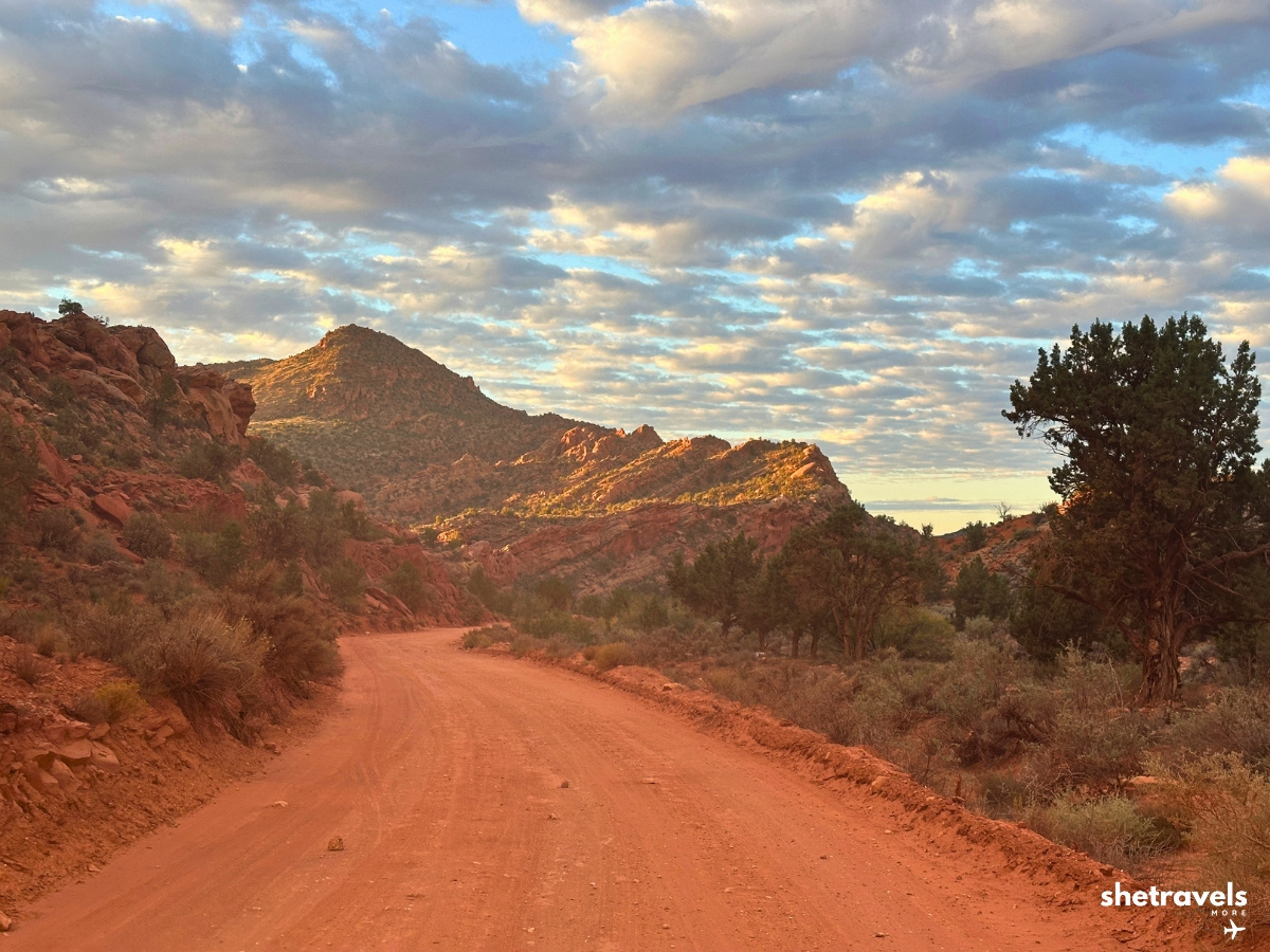
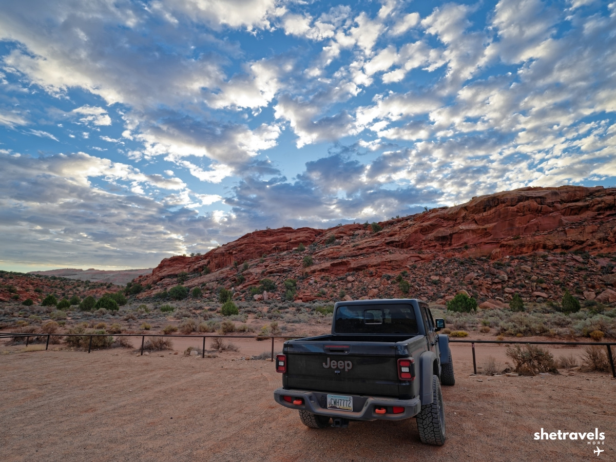
However, House Rock Valley Road is bumpy, rocky and full of holes. An SUV is not strictly required in dry conditions, but I would recommend one. That way, you sit higher, you worry less about the potholes and you have more clearance on the rocky sections.
Above all, after rain the road can become impassable. The clay turns slick and washes can flood, and that is not something you want to discover halfway in. Check the road conditions with the BLM before you drive out.
Tip: Fill up the tank and buy water and snacks in Kanab the evening before. Also, there are no services on House Rock Valley Road.
Flash Floods and Monsoon Season
Still, this is the part most people underestimate. Flash floods are a real danger in this area. A storm many miles away can send water rushing through washes and slot canyons, even when the sky above you is blue.
In general, monsoon season in the Southwest usually runs into mid September. In 2026, however, it lasted noticeably longer. We were lucky and had a dry window for our hike, but shortly after we left there were flash floods again.
Turn on weather and emergency alerts on your phone before your trip and check the forecast the evening before and the morning of your hike. If storms are forecast, do not drive in and do not hike. No photo is worth it.
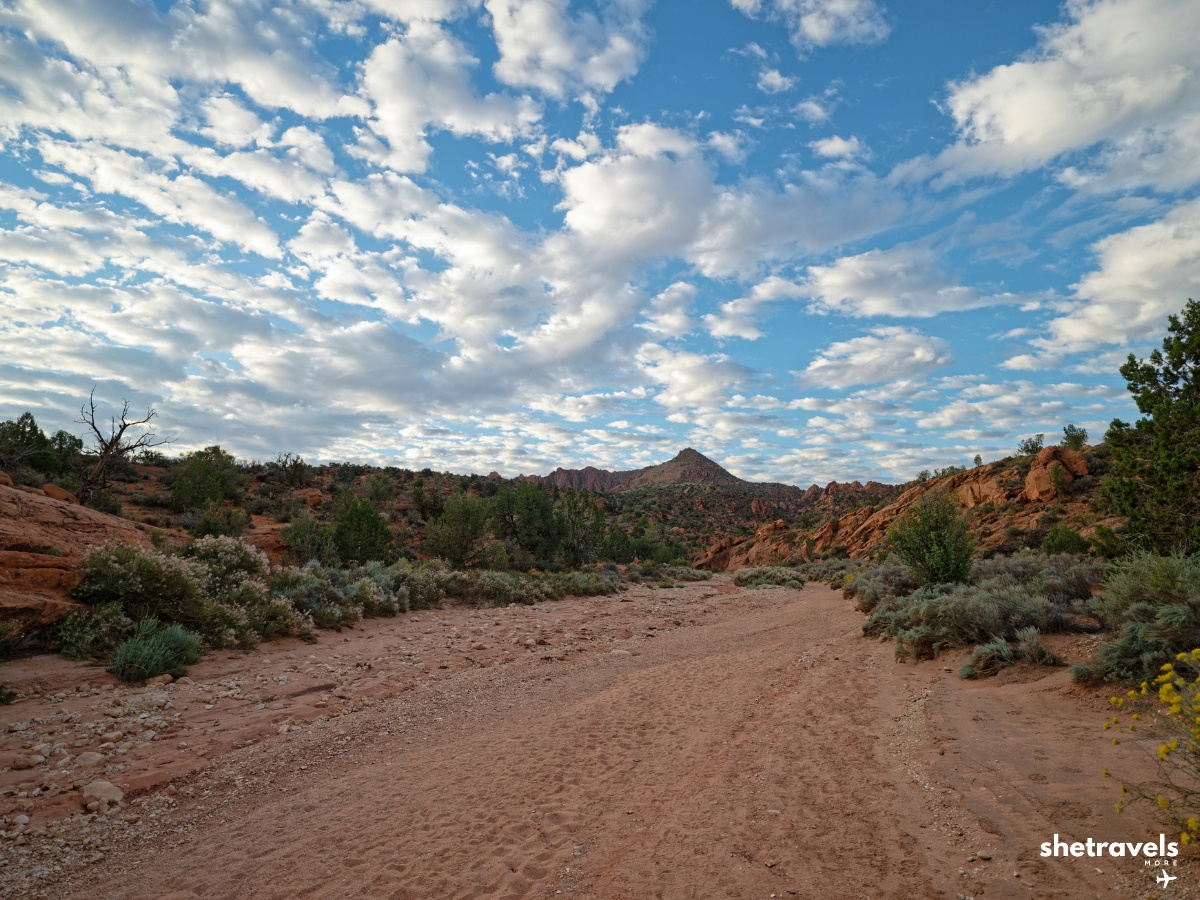
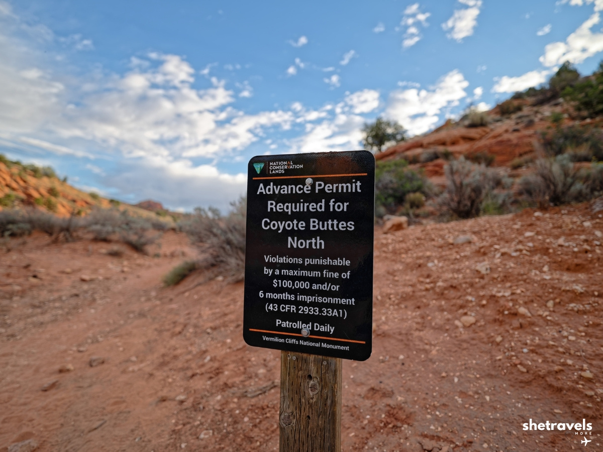 The sign at the trailhead: advance permit required, patrolled daily, and up to $100,000 in fines or six months in jail. A very expensive way to see The Wave.
The Wave Trail: How to Find Your Way
First of all, there is no fully marked trail to The Wave. Instead, with your permit you get a BLM route description with a map and photos. It describes the way along striking landscape features: buttes, ridges, cracks in the rock. You hold the photo up, compare it with what is in front of you and walk toward the next landmark.
That is how we did it, and it worked well. In other words, you have to pay attention the entire time. The description shows the route in both directions, so you also have photos for the way back.
At the Wire Pass Trailhead you have to sign in to the trail register with your destination and an emergency contact. When you are back, sign out again. If you forget to sign out, a search team is sent out in the evening. So take the extra minute, both on the way in and on the way out.
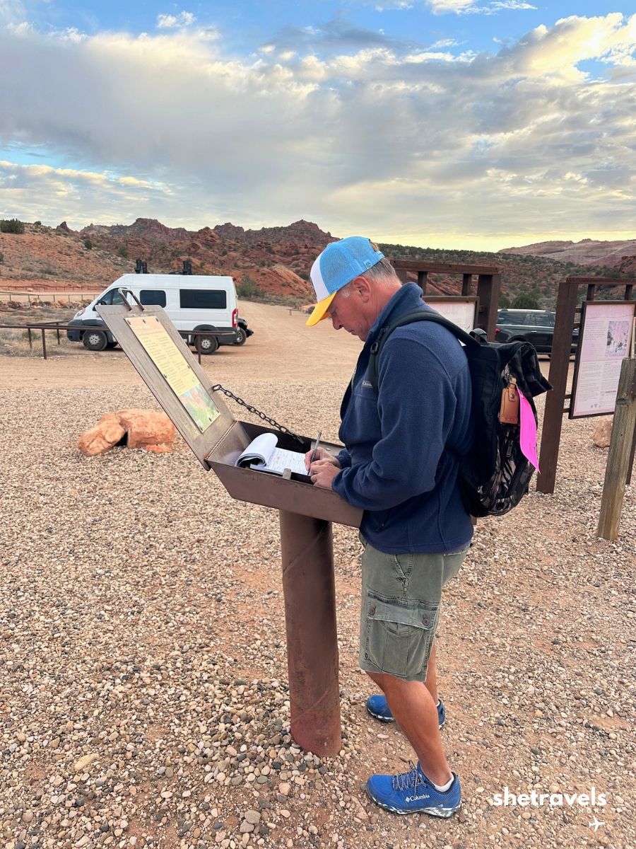
Sign in to the trail register
Before you leave the car, put the pink parking tag that the BLM mails with your permit on the dashboard where it is clearly visible. It looks just like the pink tag for your backpack, and you need both.
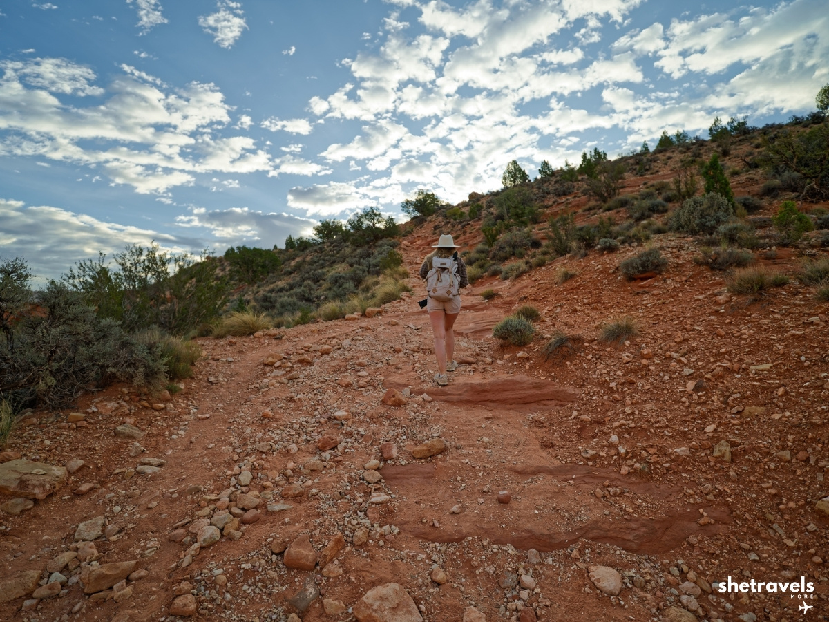
The First Stretch: Sand, Rock and a Metal Gate
From the trailhead you first walk along the Wire Pass wash. The first stretch leads through sand, then over rock, before you reach a metal gate. A little later, a sign marks the turn into Coyote Buttes North, and from there the route continues over sand and slickrock toward The Wave.
Compared to my first visit eleven years ago, there are now a few markers along the way that show you the direction. They help, but they do not replace the BLM description. Between the markers you still navigate by the landmarks.
Tip: The BLM description also covers the way back, with its own photos of the landmarks from the other direction. Keep it handy on the return too, because everything looks different when you walk the route the other way.
Permit Tag, Rangers and Buckskin Gulch
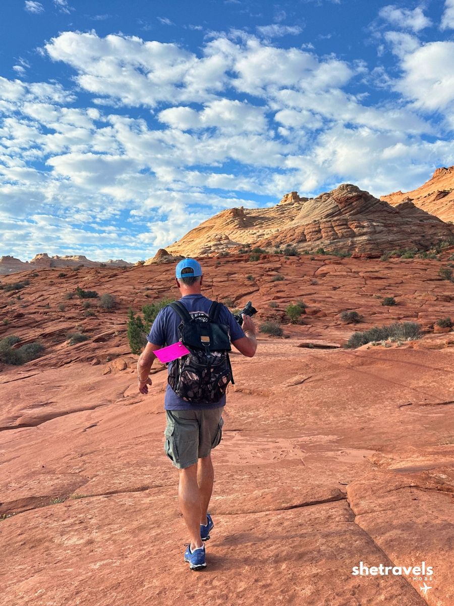
Also, keep your permit tag visible on your backpack. Rangers and volunteers are out there, and they do check.
The Wire Pass Trailhead is also the starting point for Buckskin Gulch, often called the longest and deepest slot canyon in the American Southwest. We did not have time for it on this trip, but it is at the very top of our list for next time. You do not need The Wave permit for it, just a day use pass of about 6 US dollars per person.
► Read our full guide on The Wave permit: how we won the lottery twice
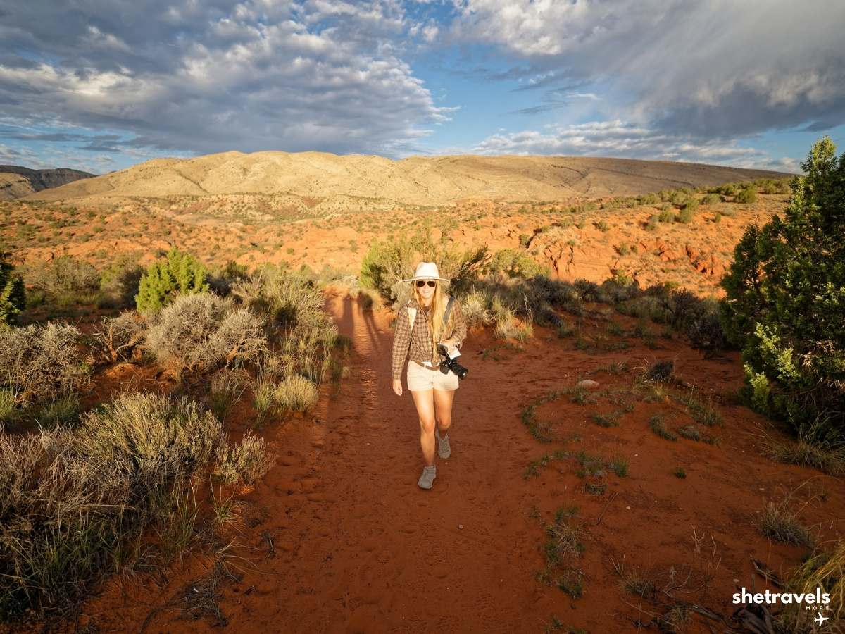
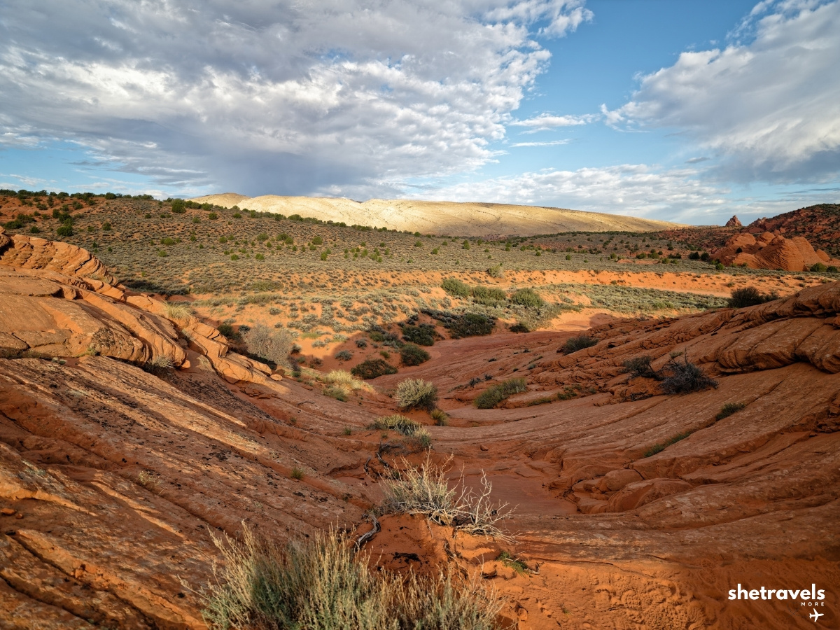
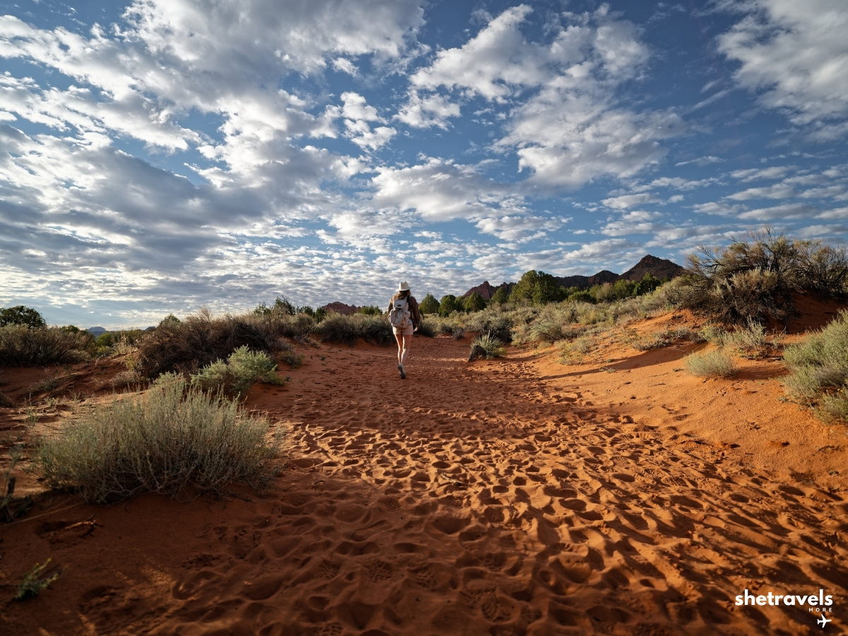
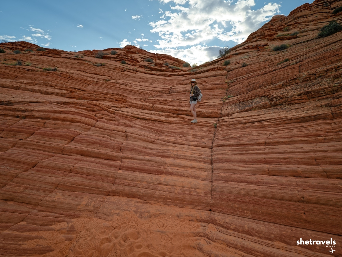
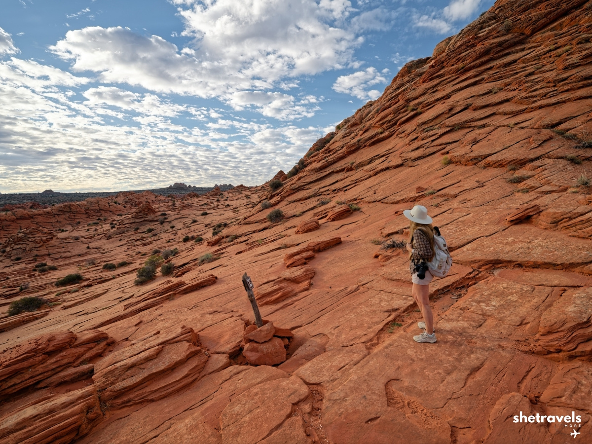
The route: wash, slickrock and landmarks.
How Hard Is The Wave Hike?
Honestly: it is strenuous. Not because of steep climbs, but because of the combination of sand, sun and distance.
In addition, on almost the entire route there is no shade. Even at the beginning of October it can get up to 30°C (86°F) during the day. In the early morning it was still cool and pleasant to walk. By the time we headed back, it was hot.
Above all, the sand is what really wears you down. Walking through deep sand fields costs much more energy than walking on rock, and the longest sandy stretches come on the way back, when you are already tired and the sun is at its highest.
If you are reasonably fit and start early, you can do it. Just do not underestimate it, and do not plan anything else strenuous for the rest of the day.
Tip: Start as close to sunrise as you can. The cool morning hours are your biggest advantage on this hike, in every season.
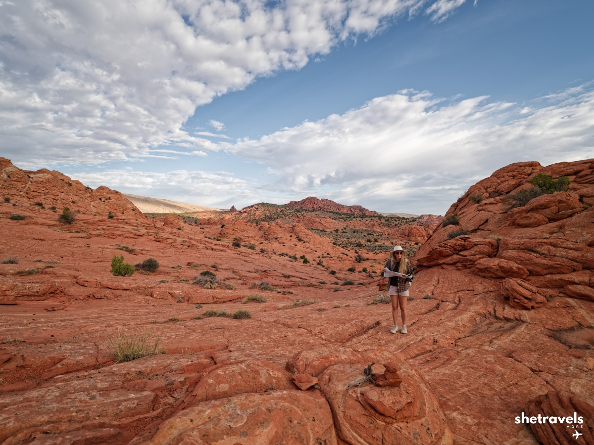
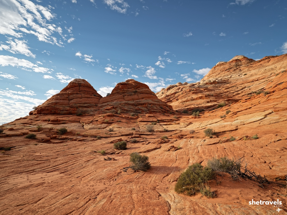
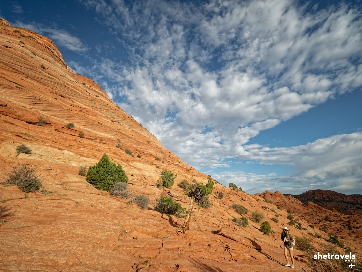
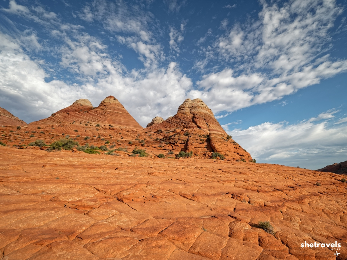
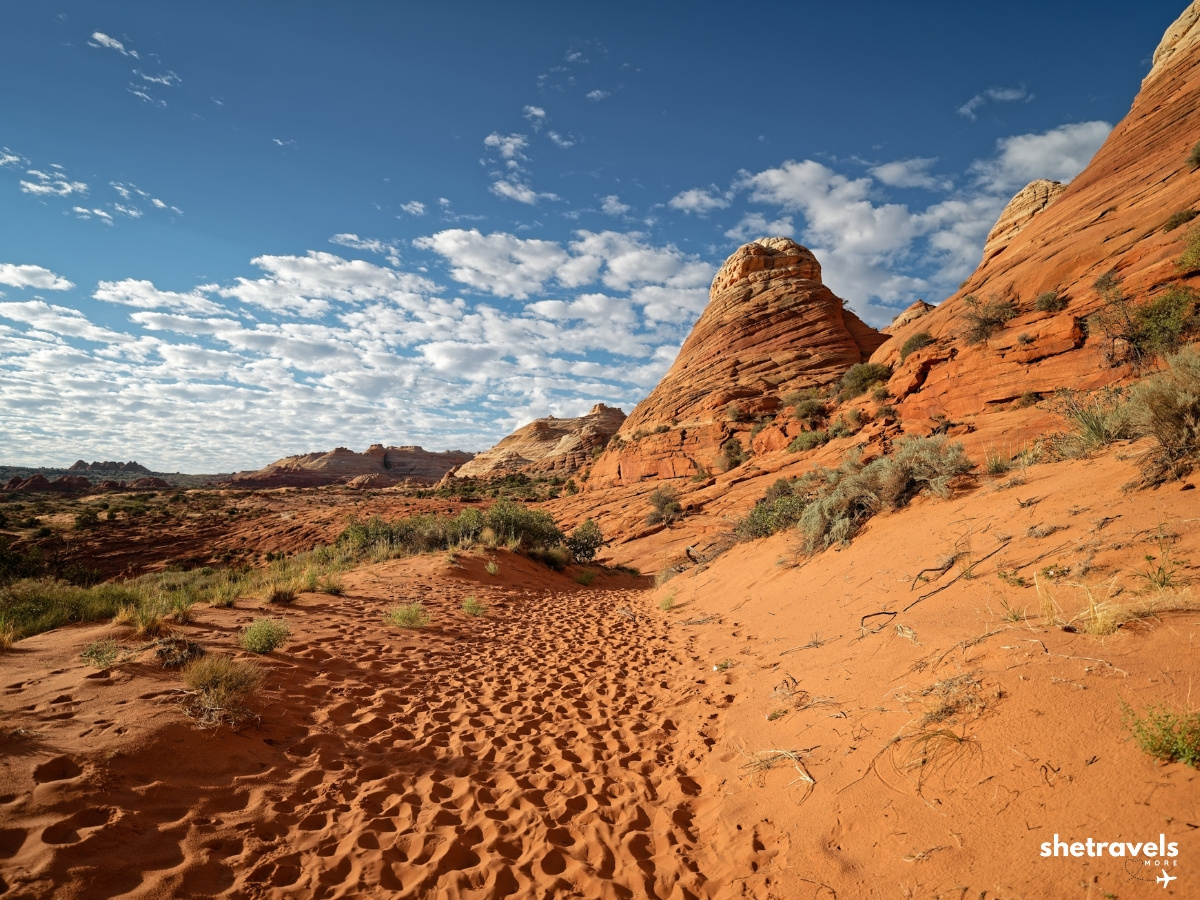
Deep sand and almost no shade.
What to See on The Wave Hike
The Wave
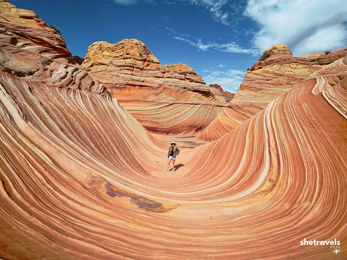
Of course, the main attraction is a small bowl of swirling Navajo sandstone, striped in red, orange, yellow and white. It is smaller than most people expect and more surreal than any photo shows. Take your time, walk around it slowly and look at it from different sides.
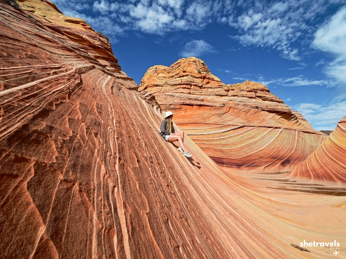
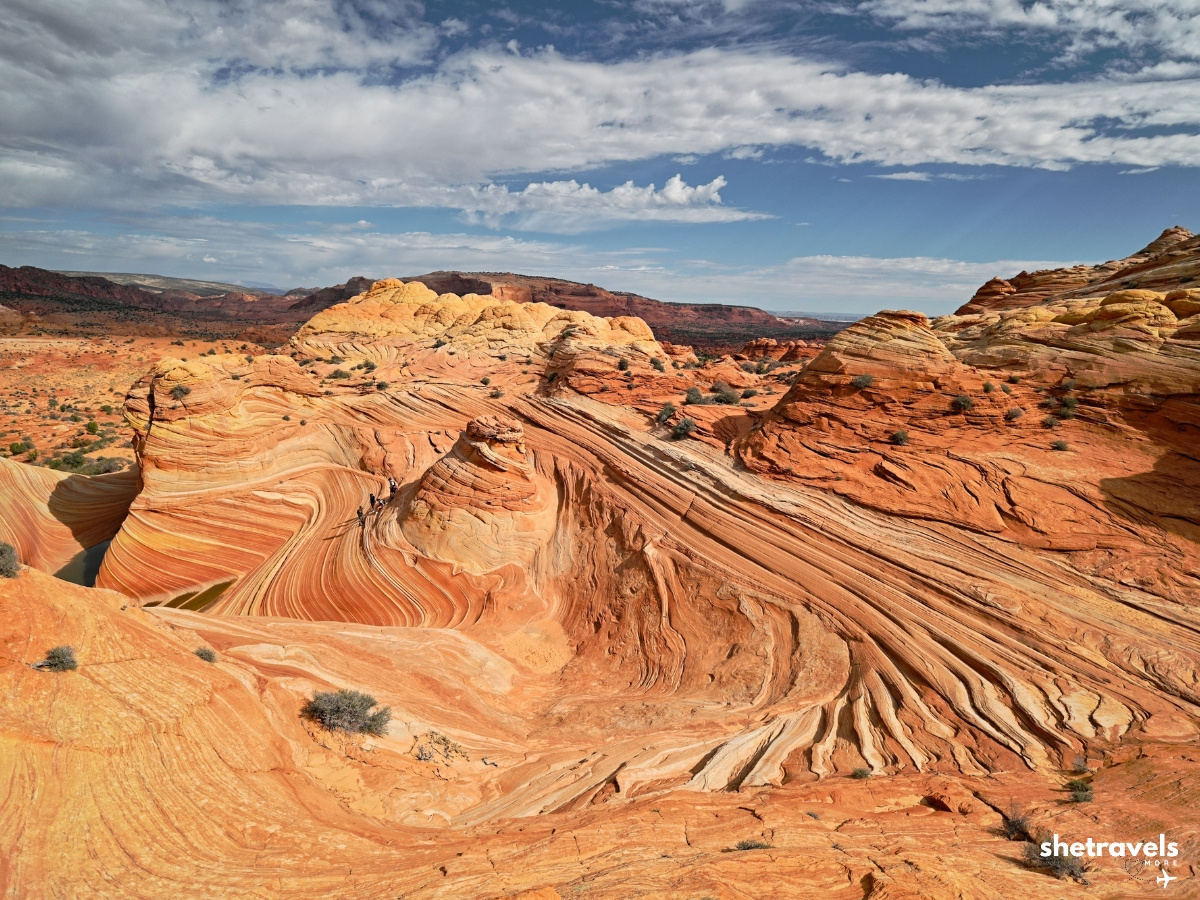
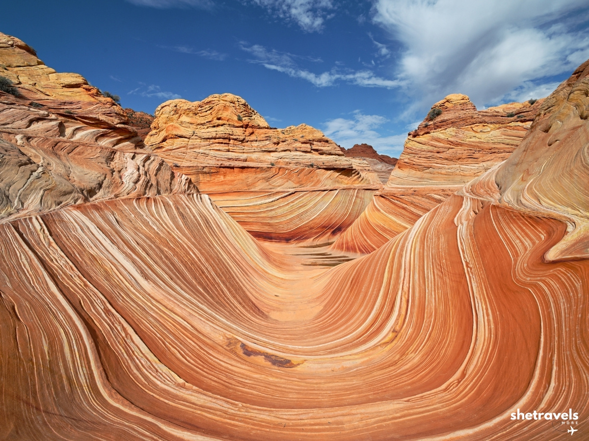
The Wave from every angle.
The Second Wave
A short walk from The Wave is the Second Wave, a wide, curved sandstone formation with the same striped layers. Besides, it is often less busy and absolutely worth the extra steps.
This is also where we had the funniest moment of the day. Out of nowhere we heard a FaceTime ringtone. We looked around, but there was nobody anywhere near us. It took us a while to figure it out: a raven was imitating the sound. Apparently the animals have noticed that more people come out here these days.
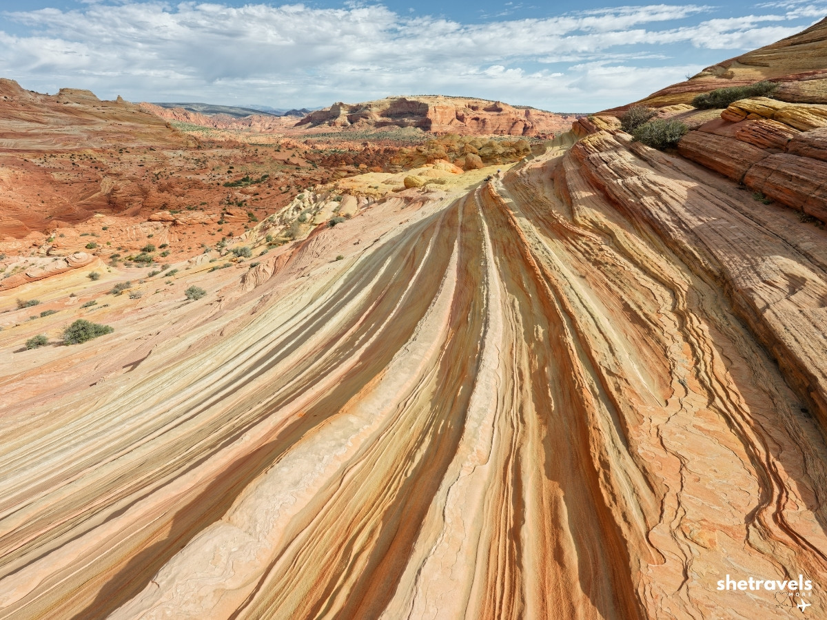 The Second Wave, just a short walk away.
The Burger
Also near the Second Wave you will find a rock formation that looks like a giant burger, with layers like a bun and a patty. It is one of those things that makes you laugh out loud in the middle of the desert.
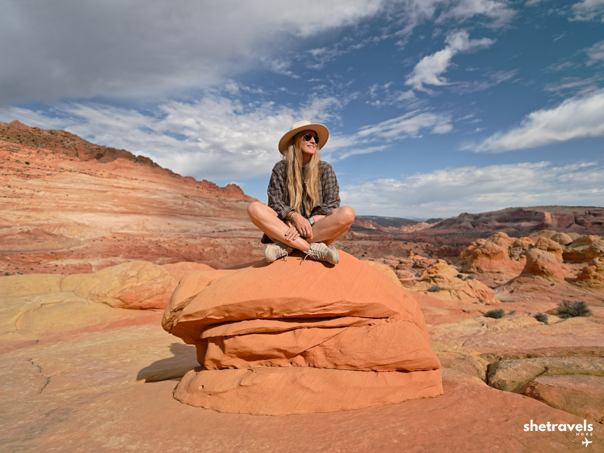 The Burger. You will see why.
Melody Arch: Skip It in the Heat
Melody Arch is another highlight in Coyote Buttes North, but there is no official path. To get there, however, you have to scramble up the whole hill. We decided against it. With 30°C and the long way back through the sand fields still ahead of us, it did not feel like a smart choice.
I do not regret it. The landscape on the way was stunning anyway. If you go in cooler weather and have energy to spare, it may be worth it. So in the heat, I would skip it.
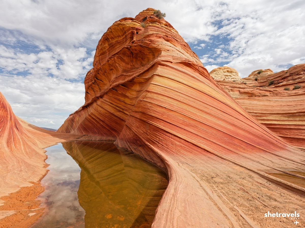
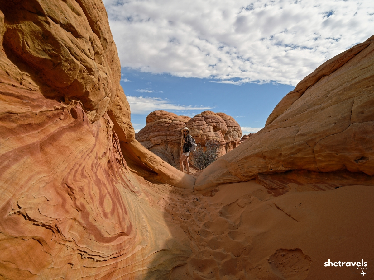
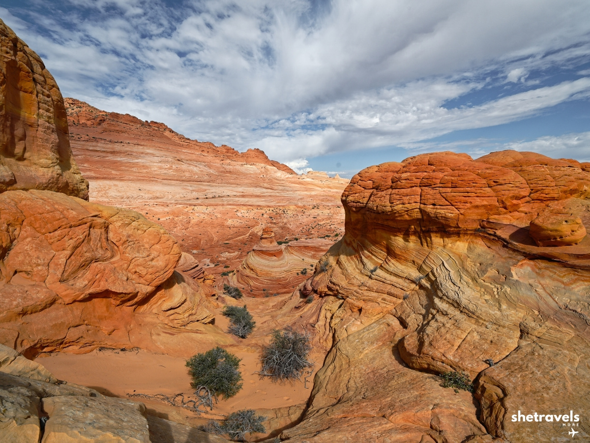
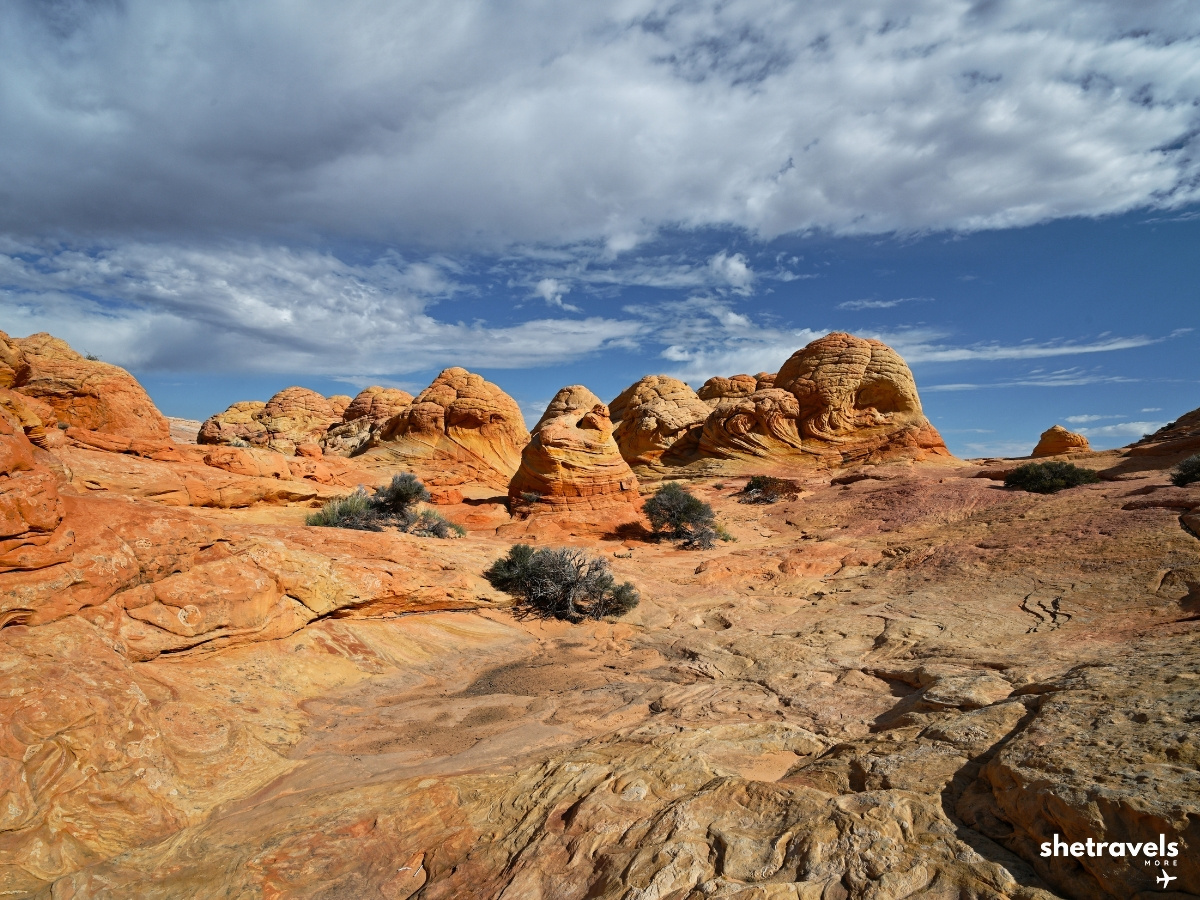
The landscape around The Wave is stunning, even without Melody Arch.
Hiking The Wave Arizona: Then and Now
To begin with, eleven years ago only 20 people per day were allowed into Coyote Buttes North. Today it is 64. You notice that. There are more people around The Wave than on my first visit. Eleven years ago there was no cell service at all. Today you get a signal in some spots around The Wave.
In addition, the route has changed a little. Back then there were no direction markers and no metal gate in the first part of the trail. Today a few markers help you along. Still, the rock itself has not changed. It still looks unreal, and standing there a second time felt just as special as the first.
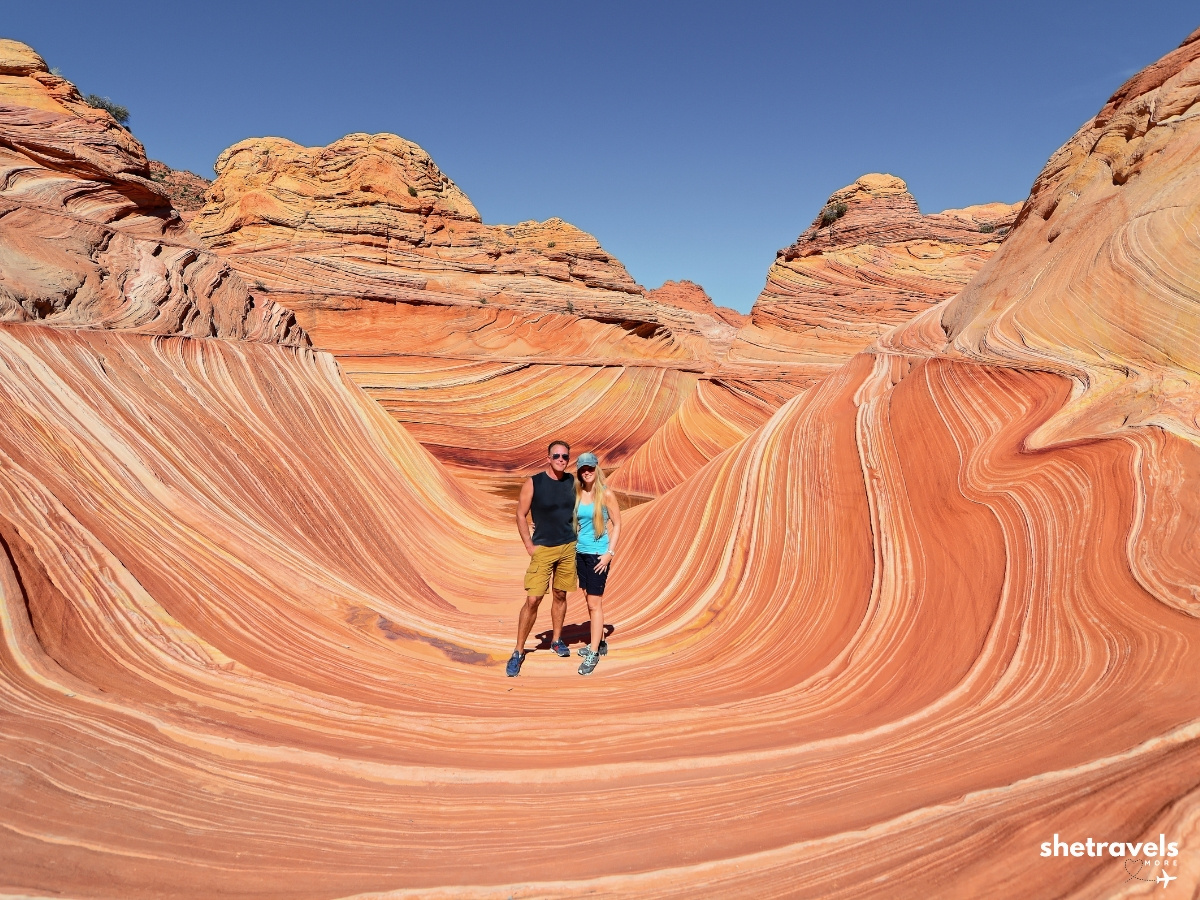
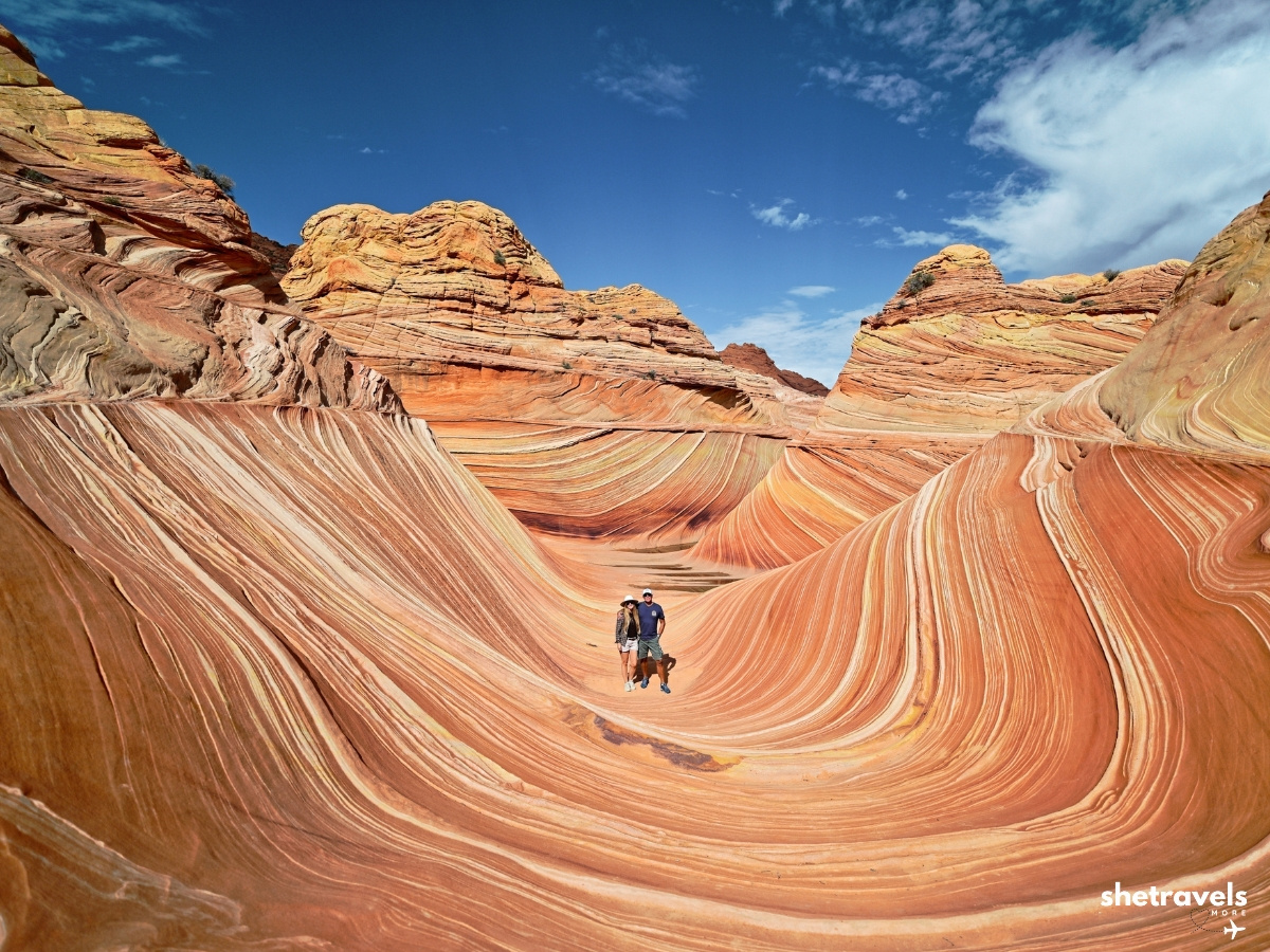
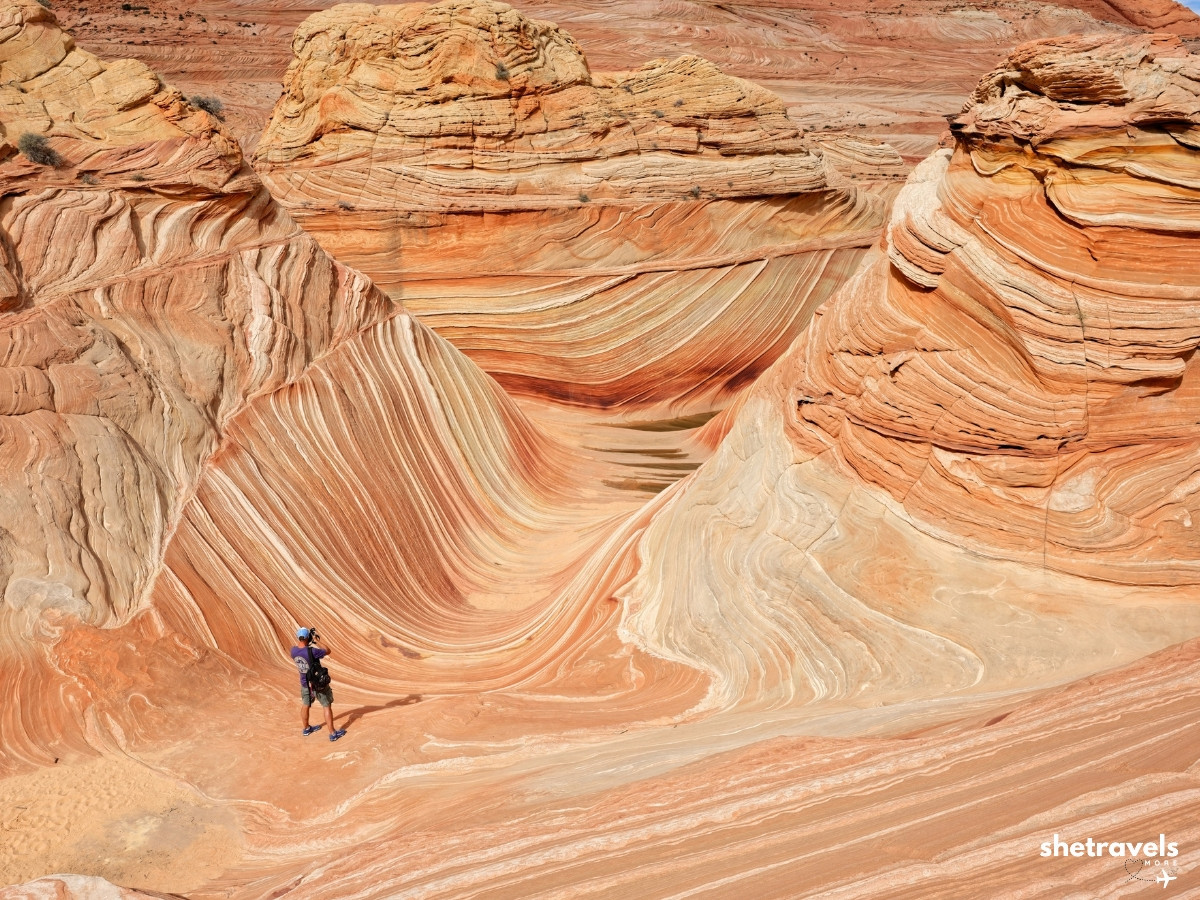
The Wave.
What to Pack for The Wave Hike
- Water: at least four liters per person, more in warm weather. There is no water on the route.
- Sun protection: hat, sunglasses and sunscreen. There is almost no shade.
- Good shoes: hiking shoes with grip for the slickrock, ideally ones that do not let in too much sand.
- Navigation: the BLM route description and an offline map on your phone. Cell service is patchy at best, so do not count on it.
- Snacks: salty food helps in the heat.
- Your permit and ID: the pink tag on your backpack, the pink parking tag on the dashboard and your ID in your pocket.
Where to Stay and Eat in Kanab
Kanab is the best base for The Wave hike. As for us, we stayed at the SpringHill Suites by Marriott Kanab, which is new and modern, with a pool, a whirlpool and views of the red cliffs. It is almost next door to the visitor center, which makes it easy for permit pickups too.
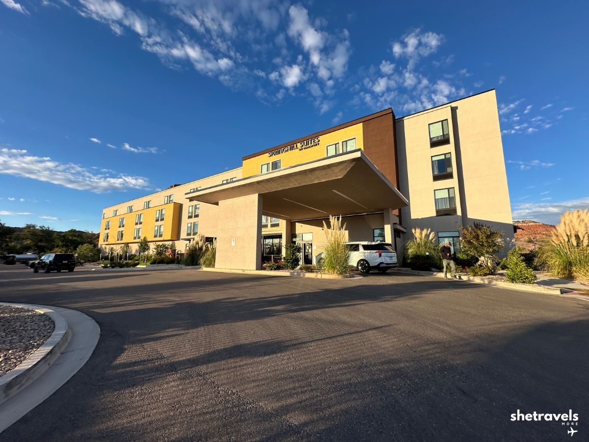
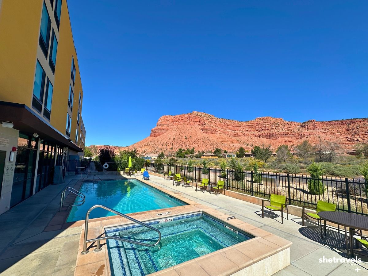
Our base in Kanab after The Wave.
Check Rates at SpringHill Suites*
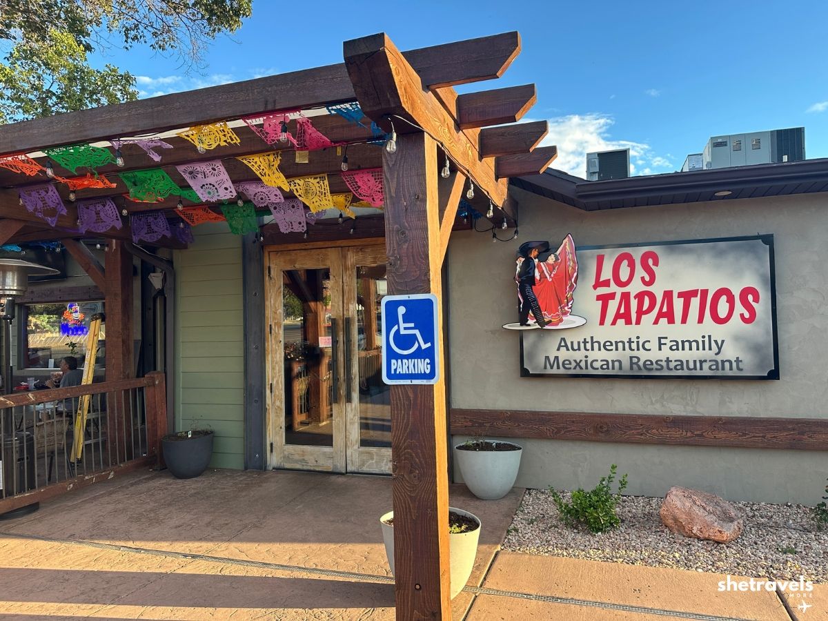
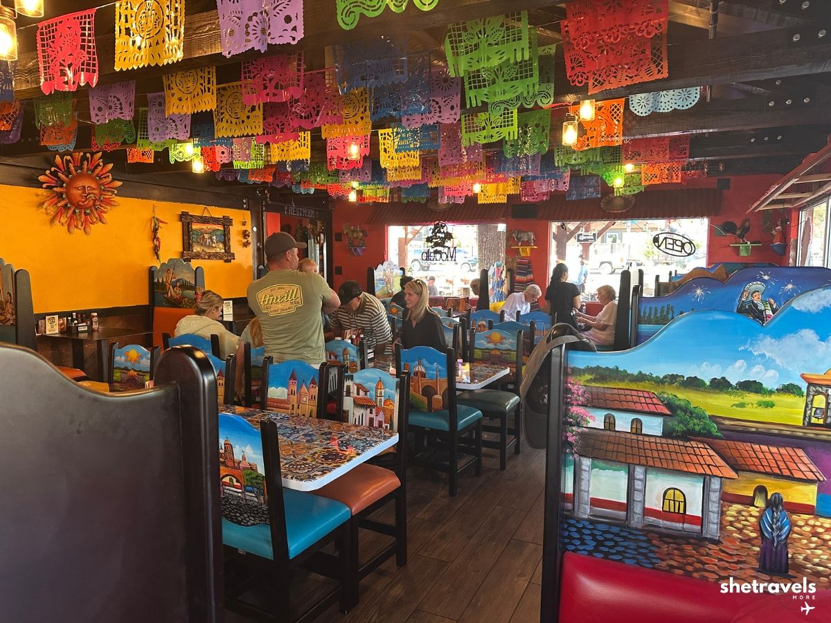
Restaurant Tip: Los Tapatios
A Mexican family restaurant in Kanab with huge portions and food that was so good we went twice. It is always busy, no matter the time. In the evening, try to be there before 6 PM.
► Next stop: Peekaboo Slot Canyon in Kanab
► Next stop: The Great Chamber near Kanab
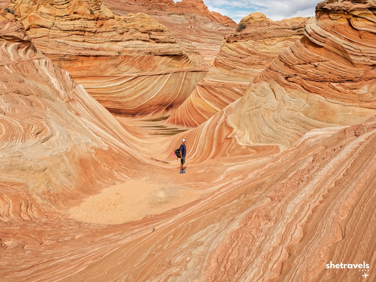
A few more moments from The Wave hike.
Get Ready for Your Trip to The Wave
Book Your Accommodation
For Kanab I use Booking.com*. For example, our hotel was the SpringHill Suites by Marriott Kanab*. I also cross check on Hotels.com* and Expedia*. Alternatively, for cabins and vacation rentals, check Vrbo*. Compare rates on Kayak*, and when the big sites show sold out, I check Agoda*.
Book Your Flights and Rental Car
Similarly, for flights and rental cars into Las Vegas or Salt Lake City I compare on Kayak*. For House Rock Valley Road, book an SUV. You will be glad you did.
Book Tours and Activities
Did not win a permit? In that case, guided tours are a great plan B. For White Pocket* you need no permit, just a tour or the right 4WD. A Coyote Buttes South tour* also needs a permit, so check the tour details before you book. For all other tours around Kanab, I look on GetYourGuide* first.
Pack the Right Gear
A hydration pack, a sun hat and good hiking shoes make the biggest difference on this hike. You can find all of it at any outdoor store or on Amazon.
Advertising: affiliate links. No extra cost to you.
The Wave Hike: Frequently Asked Questions
🥾 How long is The Wave hike?
About 6.4 miles (10 km) round trip from the Wire Pass Trailhead. With time at The Wave and the Second Wave, plan for at least half a day.
🔥 How hard is The Wave hike?
Strenuous, mainly because of deep sand, almost no shade and heat. Even in early October it can reach 30°C (86°F). Start early and take plenty of water.
🚙 Do I need a 4WD for House Rock Valley Road?
In short, in dry conditions an SUV is the best choice. The road is bumpy, rocky and full of holes. After rain it can become impassable for any vehicle.
🧭 Is The Wave trail marked?
Only partly. Today there are a few direction markers, which did not exist on my first visit eleven years ago, but most of the time you navigate with the BLM route description, which shows a map and photos of landmarks along the way. An offline map on your phone is a good backup.
⛈️ When is flash flood season at The Wave?
Monsoon season usually runs into mid September, but it can last longer, as it did in 2026. Check the forecast and turn on weather alerts on your phone before you go.
📖 Do I have to sign in before The Wave hike?
Yes. At the Wire Pass Trailhead you sign in to the trail register with your destination and an emergency contact, and you sign out when you are back. If you do not sign out, a search team is sent out in the evening.
⏰ What time should I start The Wave hike?
As close to sunrise as possible. We drove from Kanab in the dark and started shortly after sunrise, and the cool morning hours made a huge difference.
Final Thoughts on The Wave Hike
All in all, The Wave hike is not a walk in the park. The road is rough, the route is only partly marked, the sand is exhausting and the sun does not let up. And still, I would do it again tomorrow. Standing in that swirl of colors is one of those moments you do not forget, and the second time was just as good as the first.
Start early. Take more water. Watch the weather. Check availability in Kanab here* and book your base as soon as you have your permit. Happy travels.
Check Out My Other Utah Travel Guides
Great Chamber Kanab: The Giant Sand Cave
Kanab Utah Travel Guide: Everything You Need to Know
The Wave Permit: How I Won the Lottery Twice
Peekaboo Slot Canyon Kanab: Our Self-Drive UTV Tour
Kanab Hotels: Where to Stay, Honest Picks
Things to Do in Kanab: The 10 Best Adventures
Kanab Itinerary: My Perfect 3 Days
Best Time to Visit Kanab: Season by Season
Is Kanab Worth Visiting: My Honest Verdict
Best Hikes in Bryce Canyon: 7 Trails I Actually Hiked
Belly of the Dragon Utah: The Ribbed Tunnel Near Kanab
Bryce Canyon National Park: My Complete Guide
USA Travel Guide: Road Trips, National Parks and Islands